
Active local weather warning
The National Weather Service has issued a coastal flood warning covering Palm Bay. Heavy rain and drainage loading can expose roof leaks, blocked drains, and ponding water. This is a weather exposure advisory; it does not establish damage to a specific roof.
Do not access a roof during hazardous weather. Protect people first, avoid water near electrical equipment, and request roofing help when conditions permit.
National Weather Service · Updated Oct 28, 2026, 6:40 AM UTC
Aerial images can show a roof layout that is hard to read from a ladder or distant parapet. They help locate equipment, map visible ponding, and record surface conditions across large or difficult-to-access areas. Our Palm Bay, FL drone inspection plans each pass around the building, lighting, weather, and requested roof zones. The image record can guide a hands-on visit, but it does not confirm a seam bond, hidden moisture, or a concealed deck condition. We label what the camera shows and identify the details that still need physical inspection.
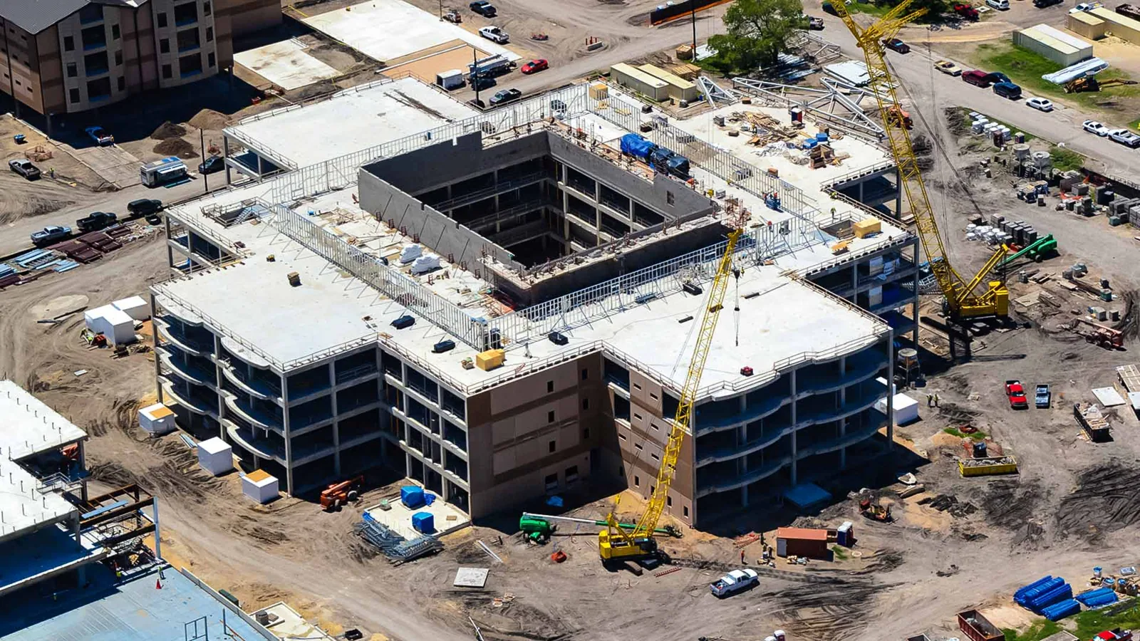
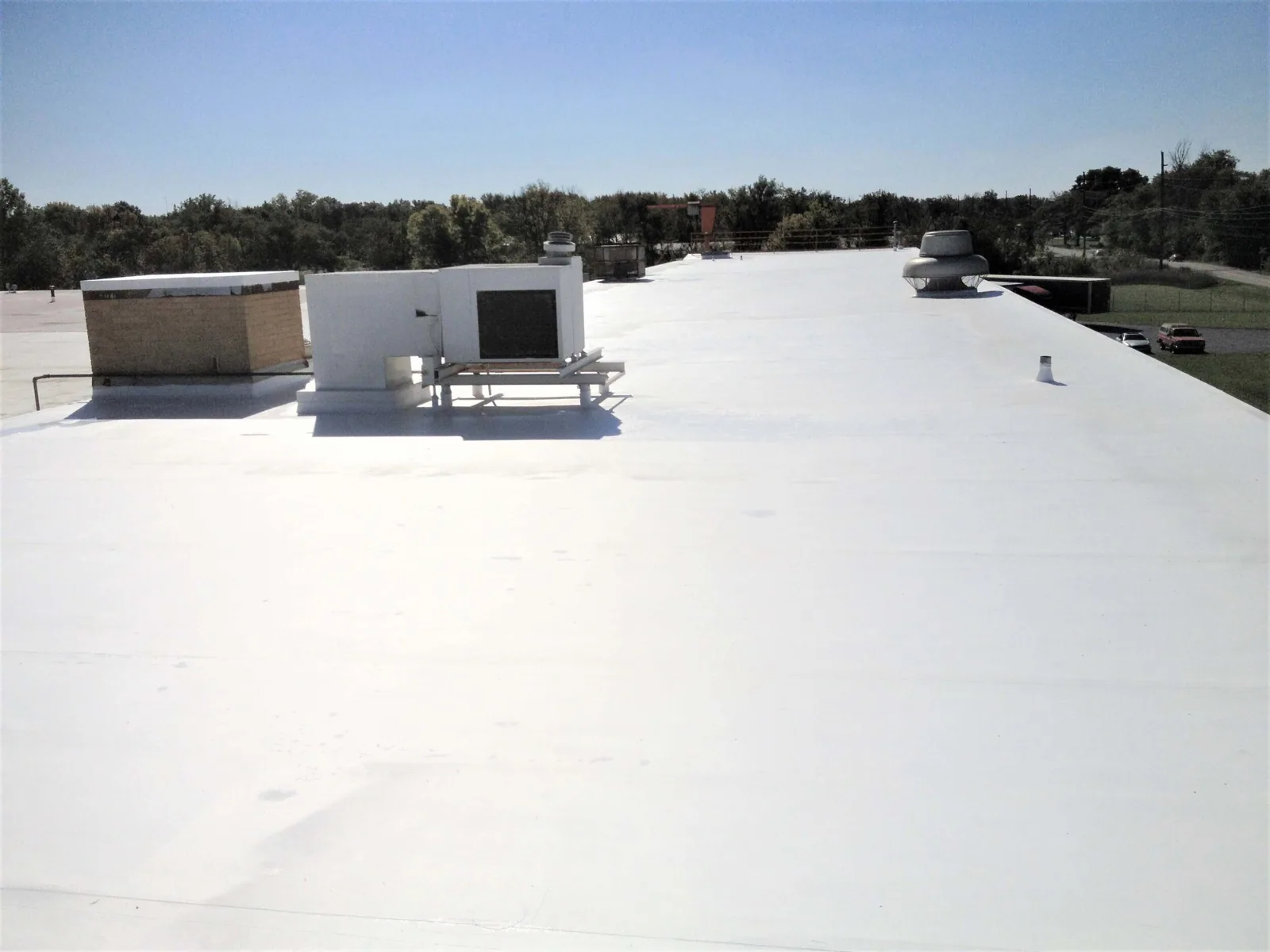
We confirm the address, roof outline, height changes, access contact, and areas of interest before scheduling. The plan may focus on a leak report, a post-storm condition, a group of rooftop units, or a broad roof map. Site rules and safe operating conditions determine whether the flight can proceed. Rain, gusts, glare, shadows, and low visibility can reduce image usefulness, so the operator reviews conditions on the day of the survey.
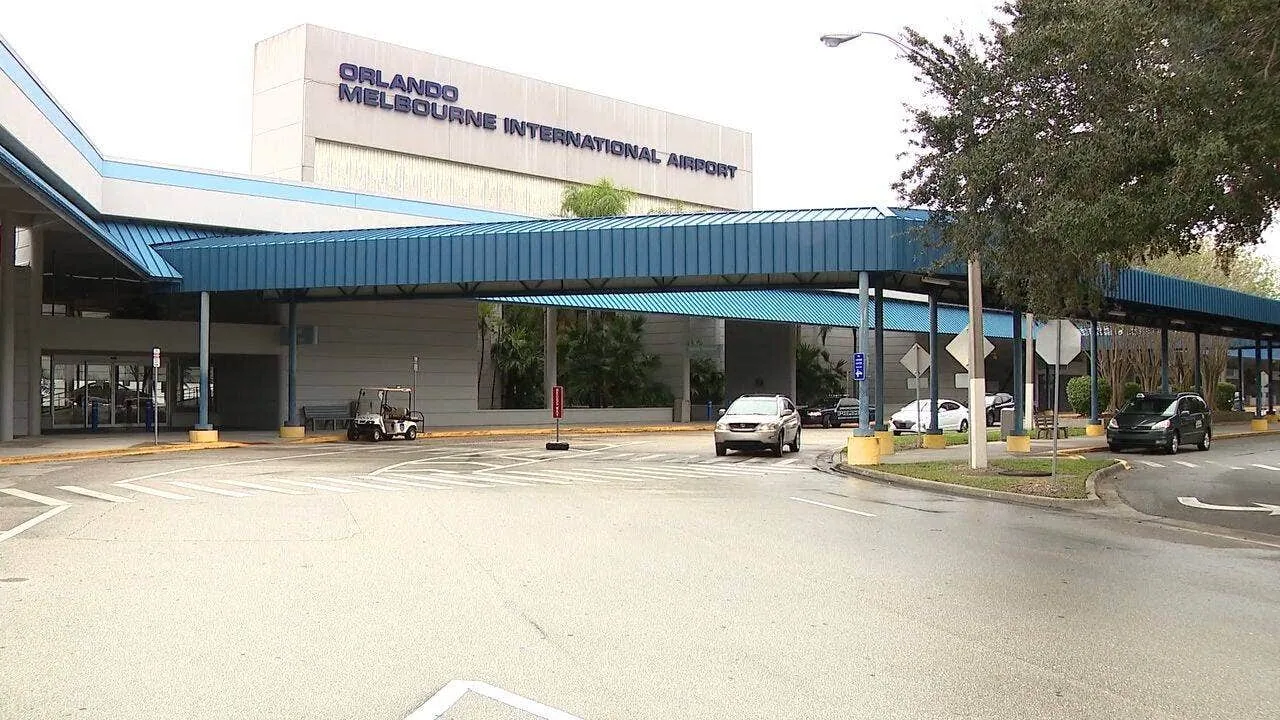
The Palm Bay market includes industrial and flex properties, medical campuses, retail centers, and office suites. A Melbourne Orlando International Airport area survey or airport-adjacent roof requires site-specific coordination. That market fact does not establish access or operating permission for a particular property. We confirm the property contact and any applicable restrictions before flight.
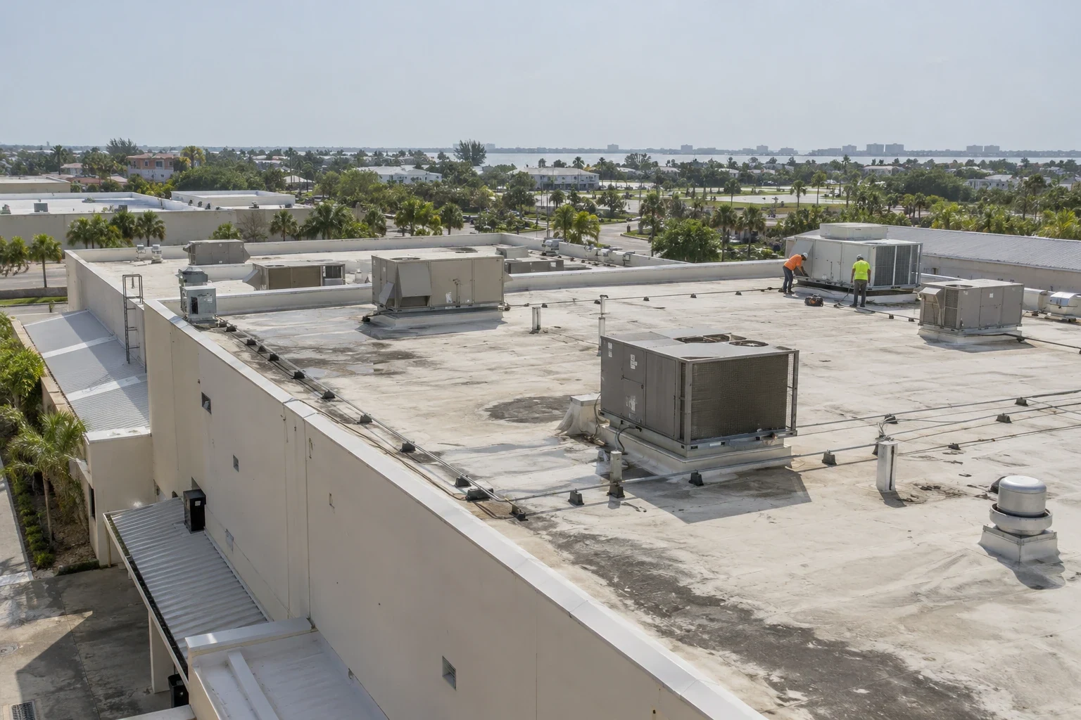
For a multi-building owner, the flight plan can separate each roof into numbered zones and capture perimeter, field, and equipment views. Palm Bay Flex Business Park has modular engineering and light-industrial space near Interstate 95. A flex campus may have several units with different access contacts. We label each building before takeoff so photographs can be tied to the correct address and reported condition.
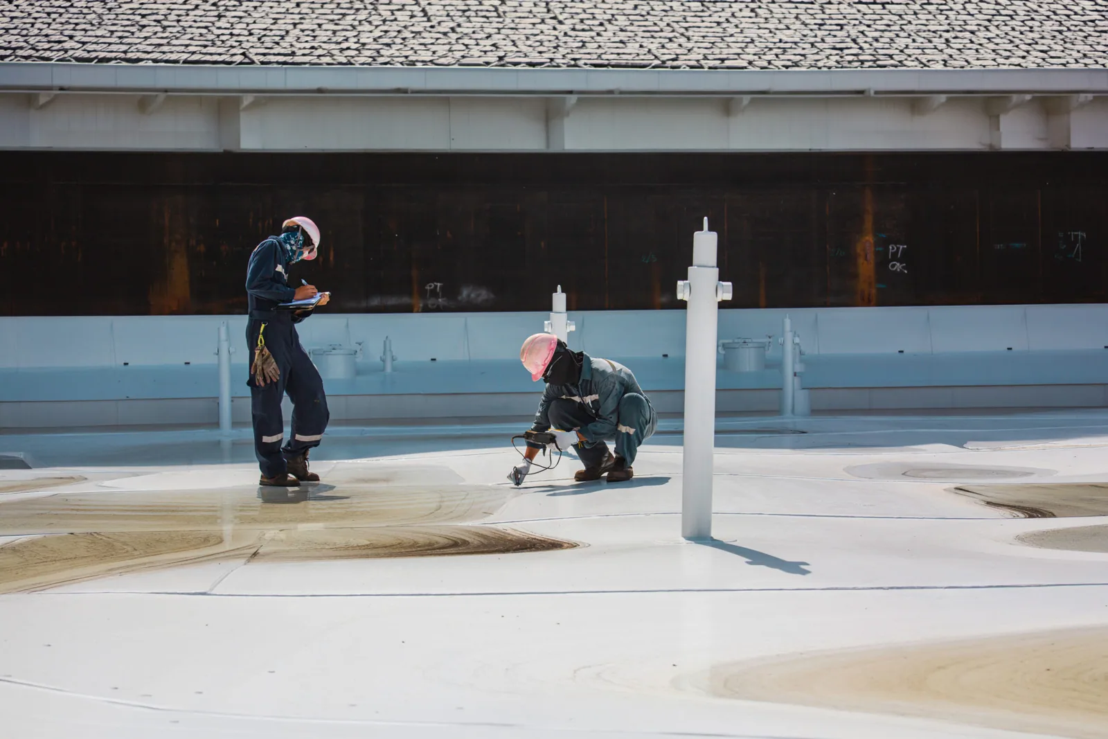
Images can record roof geometry, visible membrane conditions, surface debris, equipment locations, ponding patterns, displaced edge metal, or a visibly open detail. A consistent angle helps compare one zone with another. We use overview and closer views where the flight conditions permit, and mark the capture date and roof section. If glare, shadows, distance, or an obstruction limits the image, the report states.
A drone camera cannot press a seam, test an adhesive bond, lift flashing, clear a drain, or determine whether insulation below the membrane is wet. A top-down view may hide a curb corner or the termination behind a parapet. Those details need safe access and a hands-on check. A physical roof inspection can follow the aerial review and test the details that matter to the repair decision.
Some owners request imagery before a contractor mobilizes. We can identify visible access concerns and mark likely work areas, then update the scope after a field inspection. The pictures do not prove the roof is sound just because the surface appears uniform. They create a dated visual record of the areas captured.
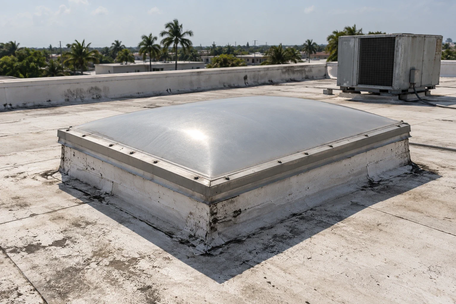
Storm imagery can preserve a view soon after an event, but only for the accessible roof zones and conditions at the time of flight. We capture the event date provided by the owner separately from the image date. If rain, wind, debris, or standing water limits the operation, the report notes the limitation and a safe return option.
Palm Bay has documented surveys for Hurricanes Irma, Ian, Nicole, and a 2005 tornado. An aerial view records visible debris, membrane displacement, or other surface changes on the flight date. We keep the owner-reported event date separate and leave cause unassigned until the roof inspection supports it.
If a leak is active, immediate water control may be more urgent than collecting a full image set. A rapid response can stabilize an exposed area before a broader survey. Once conditions allow, a return flight can document the repaired zone and remaining roof surfaces from a similar angle.
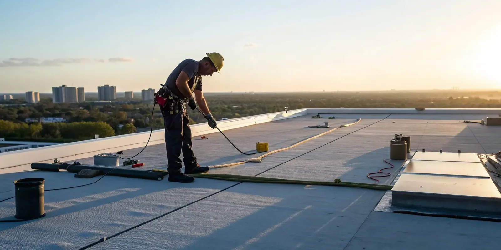
Deliverables can include labeled overview images, close views, a roof-zone map, date and property identification, and notes about the coverage limit. We identify areas hidden by rooftop equipment, parapets, trees, or other obstructions. If the requested view could not be captured, it remains an open item rather than a blank assumption.
A report ties an image to a decision. We can mark where hands-on inspection should begin, where a leak was reported, and which visible details need a closer look. A condition report can carry aerial and ground photographs together. For a multi-building program, site records keep each date and roof map assigned to the correct building.
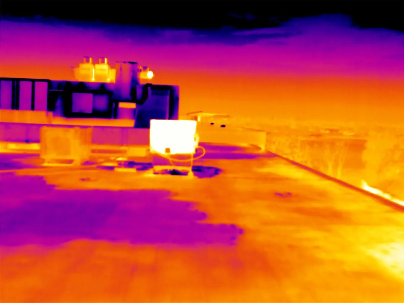
After the image review, the owner can choose a physical inspection, infrared survey, repair estimate, or continued monitoring. A moisture survey is a separate service with its own access and weather requirements. Drone imagery may help guide that work, but the scan method and test locations remain separately documented.
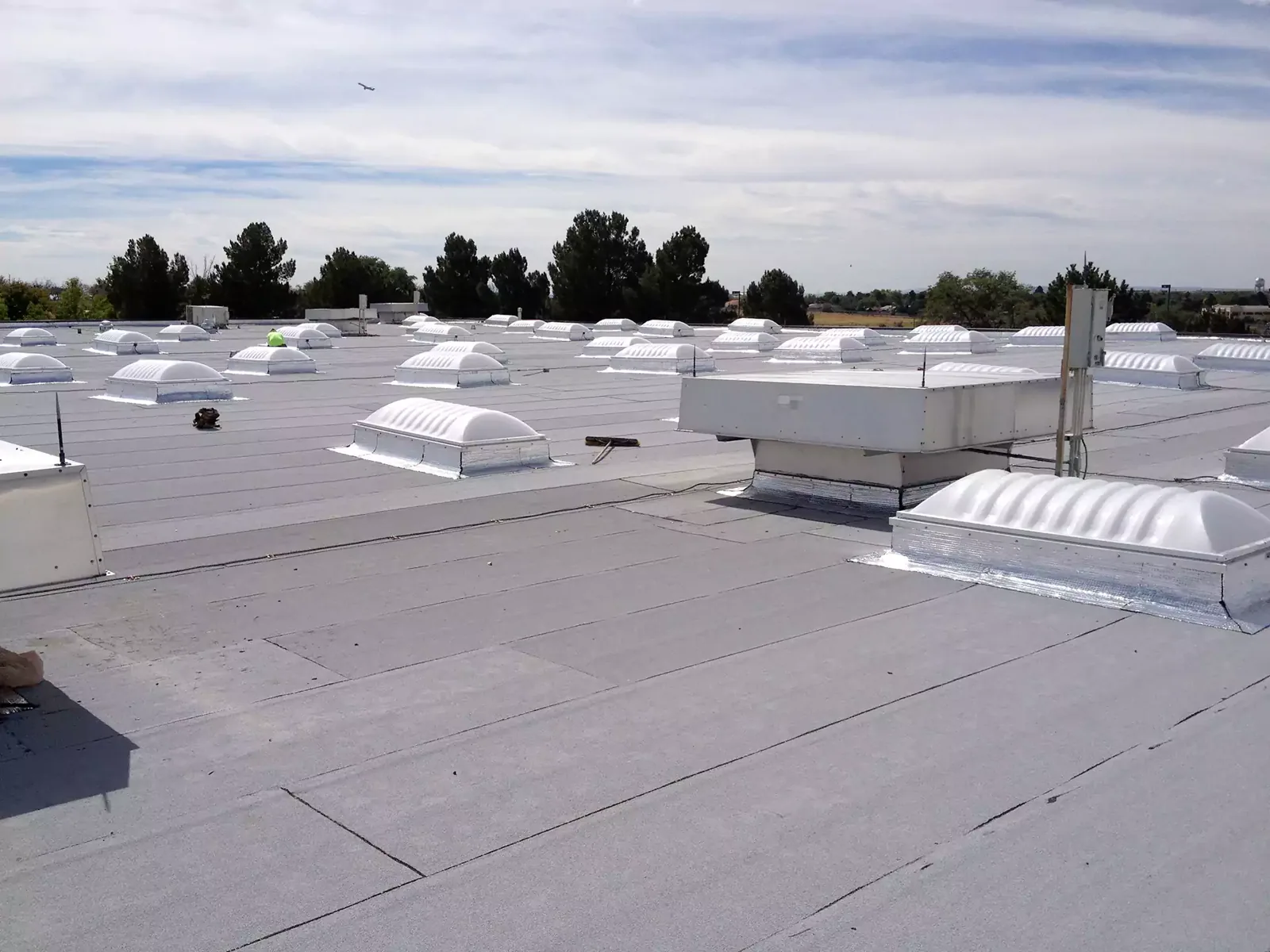
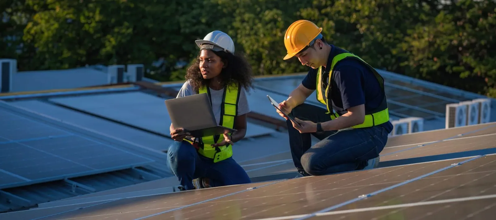
Before flight, we identify a property contact who can confirm access, building occupancy, equipment restrictions, and the planned area. We keep people clear of the work zone and follow site-specific safety instructions. Active construction, roof repair, or equipment delivery may require a different flight window. A drone visit does not enter a tenant space or replace the facility’s access process.
Regional facilities show why the site context matters. Florida Tech Research Park and the airport industrial area include an applied research laboratory and aviation training center. A nearby commercial roof may still have unrelated operations and restrictions. We coordinate for the property in front of us, not by assuming two neighboring buildings share the same rules.
The closeout states the roof zones captured, the views not obtained, and any recommended hands-on check. It also records whether a reported condition was visible in the imagery. A follow-up image set is most useful when it repeats the same zones and approximate angles, allowing the owner to compare changes over time.
Learn more →
Learn more →
Learn more →
Learn more →
Learn more →
Learn more →